The New Jersey High Point Ascent
Sussex County / High Point State Park, NJ
Distance84 mi
Ride time2h 0m
StartAstoria, Queens (NYC)
CharacterRolling two-lane, deep woods, steep summit climb
Everyone floods the New York state parks on weekends; this route goes the other way. It crosses into northwestern New Jersey and works through the rolling hills and deep woods of Sussex County — fantastic, lightly-trafficked two-lane — before climbing through High Point State Park's steep elevation changes and tight corners to the highest point in the state, with the obelisk and a three-state view waiting at the top.
The actual road-by-road line, routed by TwoTired's own engine — every curve you see is pavement you'll ride.
How the ride breaks down
The escapeI-80 West express lanes to NJ-23 North, staying on the divided highway until Newfoundland.
The transitNo parkway on this route — it goes straight from highway to the good stuff.
The rewardA fantastic two-lane scenic ride through Sussex County and up High Point State Park's steep elevation changes and tight corners.
Local knowledge
Sussex County roads are quiet but farm-adjacent — expect the occasional slow vehicle and gravel drive. The High Point monument parking is bike-friendly. Port Jervis and Hawk's Nest are 15 minutes away if you want to extend.
Ride this route with TwoTired
This route ships inside the app — voice-controlled planning, live group tracking, and turn-by-turn for every mile of it. Best for: riders who want empty roads over famous ones.
 Coming soon
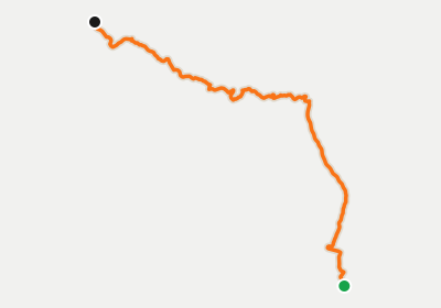 Harriman & Sterling Forest Sweep
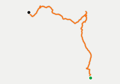 The Storm King & Mountain Run
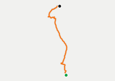 The Arden Valley Technical Dive